Land Cover
Learn what crops have been grown on selected land.
Note: Full access to this feature requires a subscription. If you need access, compare plans here and choose a subscription that works for you.
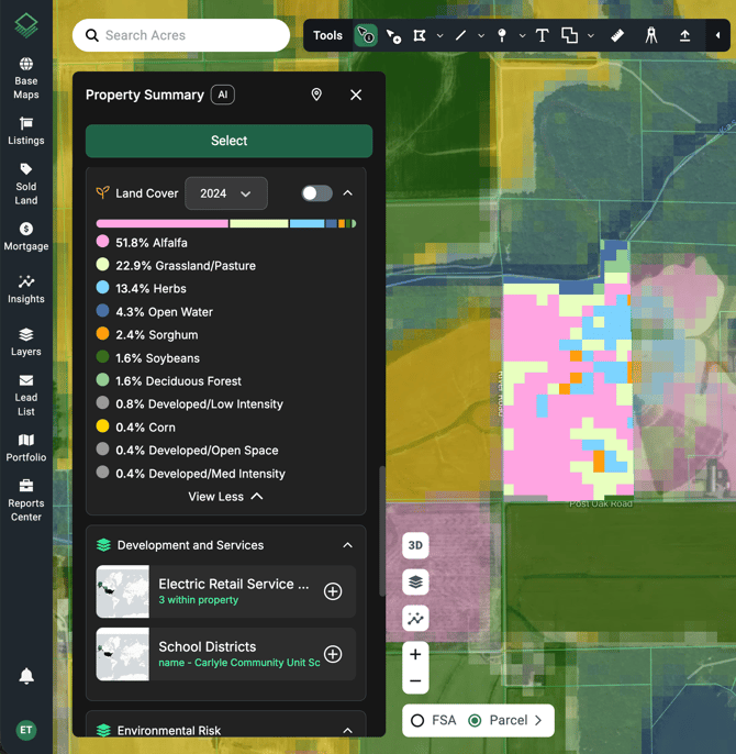
Land Cover (formerly Crop History) can be viewed within the Insights Panel for any selected boundaries, or on the Property Summary for a single parcel.
To view within the Insights panel, follow these steps:
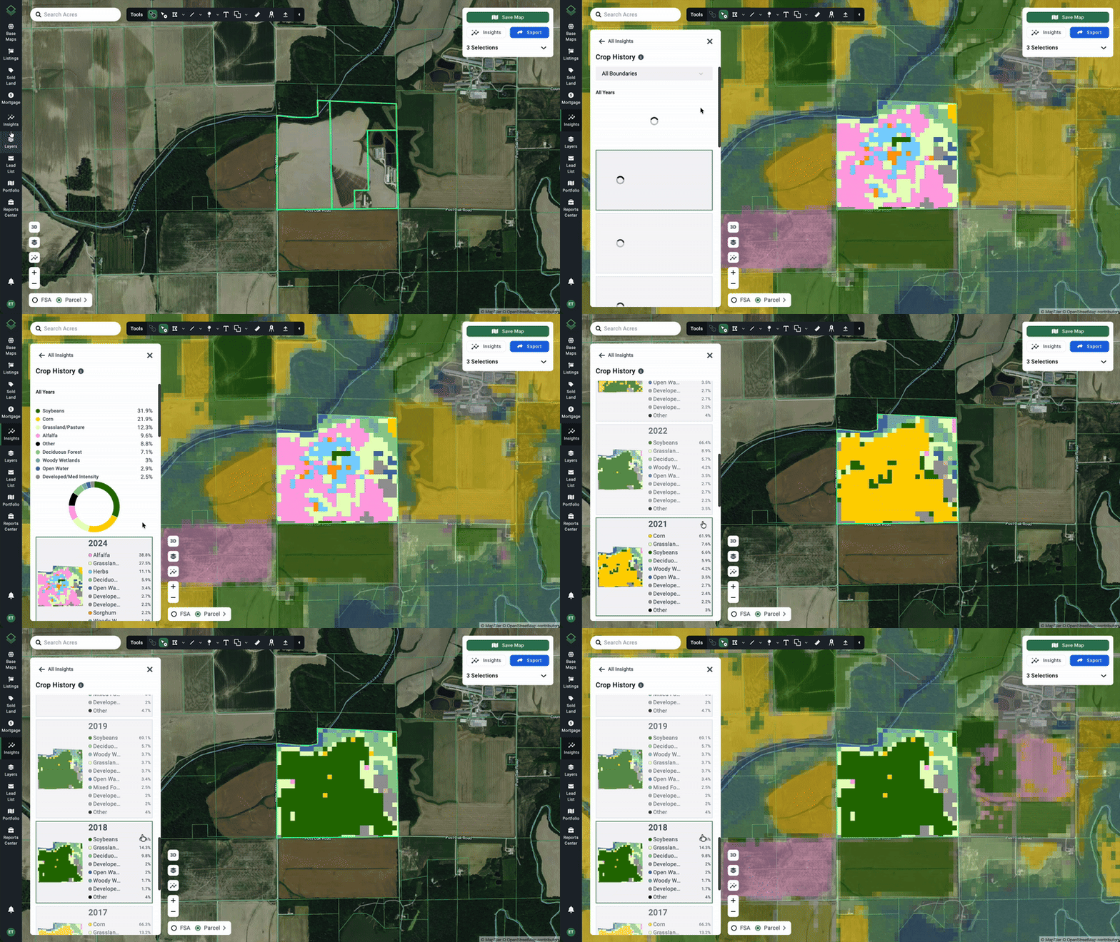
- Start by making a Parcel or FSA selection on the map.
- On the left navigation bar click Insights > Land Cover.
- A new panel will appear showing a radial chart and legend for the types of crops grown on the selected land.
- The crop colors as outlined in the legend will be overlaid on the map.
- Scrolling through the available history and clicking on the desired year will change the overlay on the map.

Open the Property Summary to see Land Cover for a particular parcel:

Note: Annual crop coverage data is gathered via satellite imagery from the USDA
