How to research crop yield data with Acres.
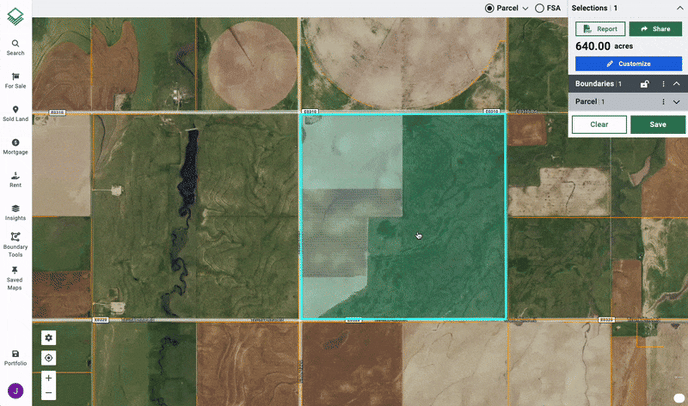
- Start by making a Parcel or FSA selection on the map
- On the left navigation bar click Insights > County Yield
- A new panel will appear showing the reported crop types, BU/ACRE (bushels per acre), along with a corresponding chart and table showing year-over-year changes
If multiple Crop Types are reported you will be able to click each type to see available data