Acres Release Notes: 4/11/2024
New features include a clone boundary tool, additional soils data, and more.
Clone Boundaries
This new tool can be found in the Customize menu under Shapes. Great for multi-parcel properties, you can use Clone Boundary to highlight specific fields or parcels on a custom map.
Here's a quick screen recording to show you how it works.
Additional Soil Data
The soils layer now includes IRR class, drainage class, and farmland class. To view, scroll to the right on the data table.
Bonus: IRR class will now be included in property reports.
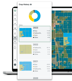
View Crop History or Historic Imagery by Selection
Open and view crop history or historic imagery for one selection at a time ... without closing everything in the selections panel.
The dropdown is located at the top part of the insights panel for each layer.
New California Crop History
Our data science team just updated California crop history with data from the California Natural Resources Agency!


